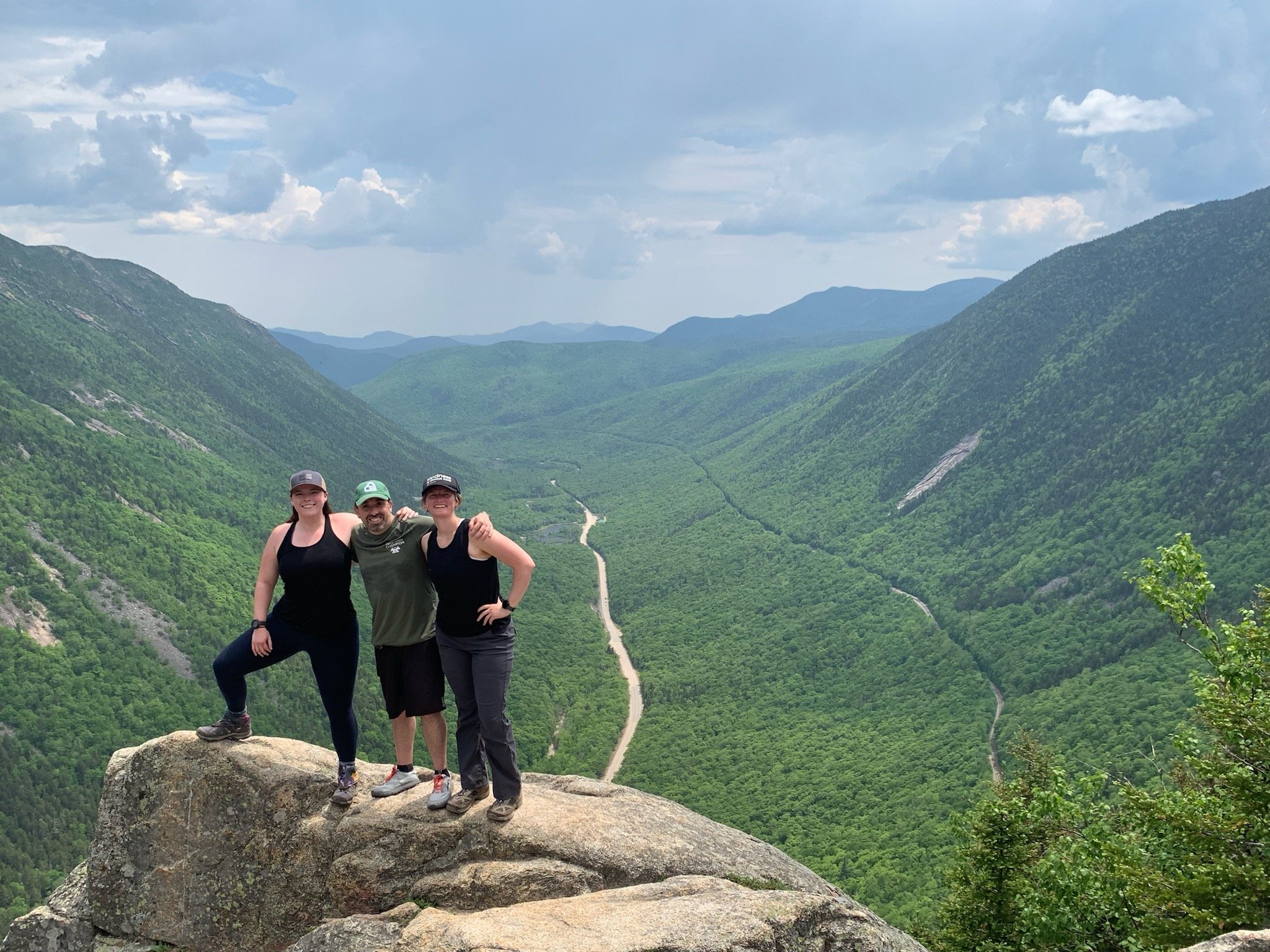
What is The Presidential Traverse?
The Presidential Traverse, nestled in the White Mountains of New Hampshire, is an iconic hike that spans over 20 miles. It challenges hikers with unpredictable weather conditions, over 9000 feet of elevation, and panoramic views of the majestic Presidential Range. This formidable trek is not for the faint of heart, demanding serious endurance, navigation skills, and significant experience hiking the Whites.
What to Expect on Day 1
On Day 1 of Hike Weekend, we kick off our hike well before sunrise (to make sure we end well before sunset!). We meet outside of our lodge at 3 AM, and our support crew drives all hikers over to our starting point at Appalachia Trailhead. Throughout the 12-hour day, our hike team will hike more than 9 miles and climb 7,000+ feet in elevation to summit 5 peaks: Mt. Madison, Mt. Adams, Mt. Jefferson, Mt. Clay, and Mt. Washington. Our first day ends around 3 PM at the top of Mt. Washington, where we enjoy some well-deserved hot food before being driven down to Joe Dodge Lodge. The rest of the evening is spent stretching, enjoying hot showers, sharing stories from the day, and a hot dinner before turning in. Use the map below to explore our Day 1 hike route.
Note: The green path represents our planned hike route, and yellow circles designate our primary waypoints. Red lines designate paths to exit the trail if needed. This map is for informational purposes only and is subject to change if needed.
What to Expect on Day 2
On Day 2 of Hike Weekend, we enjoy a bit of a later start with breakfast at the Lodge before being transported back up to the top of Mt. Washington to resume our hike. While our goal is to begin hiking from the summit by 9:30 AM, the drive up can be icy, so our start time may vary based on driving conditions near the summit.
Day 2 spans nearly 11 miles and summits 6 mountains, but overall elevation gain is closer to 1,500 feet, making it a relatively easier day compared to Day 1. After bagging Mt. Monroe, Mt. Franklin, Mt. Eisenhower, Mt. Pierce, Mt. Jackson, and Mt. Webster, we descend to our finish line at AMC Crawford Notch, where we are met with our support crew, along with all of our vehicles and belongings from the Lodge. After enjoying some snacks and drinks, Hike Weekend comes to a close around 5 PM. Use the map below to explore our Day 2 hike route.
Note: The green path represents our planned hike route, and yellow circles designate our primary waypoints. Red lines designate paths to exit the trail if needed. This map is for informational purposes only and is subject to change if needed.

